-
Size of Agricultural Crops in Kenya
Used in Map 5.7 of Nature's Benefits in Kenya: An Atlas of Ecosystems and Human Well-Being. Original data are downloadable at www.africover.org.
-
Large-Scale Irrigation in Kenya
This data was used in Map 3.12 in Nature's Benefits in Kenya: An Atlas of Ecosystems and Human Well-Being. Original data are downloadable at www.africover.org.
-
Agricultural Areas in Kenya
This data was used in Map 1.3 in Nature's Benefits in Africa: An Atlas of Ecosystems and Human Well-Being. Original data are downloadable at www.africover.org.
-
Waterbodies in Uganda
This dataset results from the combination of three datasets: 1. NATIONAL FOREST AUTHORITY (NFA). 1996. Land Cover GIS Database. Kampala, Uganda: Government of Uganda, NFA. 2. NATIONAL IMAGERY AND MAPPING AGENCY (NIMA). 1997. Vector Map Level 0 (Digital Chart of the World), 3rd Edition....
-
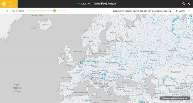
Featured Aqueduct Global Flood Risk Maps
For the current scenario, we used hydrological data from 1960 through 1999 for generating flood inundations for 9 return periods, from 2-year flood to 1000-year flood, and 2010 GDP, population, and land use data for assessing flood impacts. For future projections, we used 5 GCMs (Global Climate...
-
NWIS 1997 Data (Uganda)
Some data were used in maps 4, 5, 6, 7, 8, 9, 10 of ""Mapping a Better Future: How Spatial Analysis Can Benefit Wetlands and Reduce Poverty in Uganda."" from Wetlands Management Department, Ministry of Water and Environment, Uganda; Uganda Bureau of Statistics; International Livestock Research...
-
Tropical Coral Reefs of the World (500-m resolution grid)
Global map of shallow, tropical coral reefs, gridded at 500-m resolution for use in the Reefs at Risk Revisited project. The coral reef location data were compiled from multiple sources by UNEP-WCMC, the WorldFish Center, and WRI. To standardize these data for the purposes of the Reefs at Risk...
