-
Wetlands in Kenya
This data was used in selected maps in Nature's Benefits in Kenya: An Atlas of Ecosystems and Human Well-Being. Original data are downloadable at www.africover.org.
-
Uganda Wetlands Extent and Types 1996
Data used in map 2 of "Mapping a Better Future: How Spatial Analysis Can Benefit Wetlands and Reduce Poverty in Uganda." from Wetlands Management Department, Ministry of Water and Environment, Uganda; Uganda Bureau of Statistics; International Livestock Research Institute; and World Resources...
-
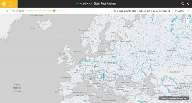
Featured Aqueduct Global Flood Risk Maps
For the current scenario, we used hydrological data from 1960 through 1999 for generating flood inundations for 9 return periods, from 2-year flood to 1000-year flood, and 2010 GDP, population, and land use data for assessing flood impacts. For future projections, we used 5 GCMs (Global Climate...
-
Shipping Activity
This dataset was used as base data in Reefs at Risk. Shipping activity data used in the model of threat to coral reefs from marine-based pollution and damage in the Reefs at Risk Revisited project. This dataset was derived at WRI from the World Meteorological Organization Voluntary Observing...
-
Global Map of Threat of Blast or Poison Fishing
This dataset was used as base data in Reefs at Risk. Map of blast and poison fishing (1 km grid) was developed for use in the Reefs at Risk Revisited project as a component of the model of overfishing and destructive fishing pressure on coral reefs. This layer designates threat of blast and...
-
Theoretical Revenue from Papyrus Harvest
The dataset results from WRI's calculation based on 1. NATIONAL FOREST AUTHORITY (NFA). 1996. Land Cover GIS Database. Kampala, Uganda: Government of Uganda. 2. KARANJA, F., L. EMERTON, J. MAFUMBO, AND W. KAKURU. 2001. Assessment of the Economic Value of Pallisa District Wetlands. Kampala,...
-
Uganda Wetland Area Per Capita
The dataset results from WRI's calculation based on: 1. NATIONAL FOREST AUTHORITY (NFA). 1996. Land Cover GIS Database. Kampala, Uganda: Government of Uganda, NFA. 2. UGANDA BUREAU OF STATISTICS (UBOS). 2002b. 2002 Uganda Population and Housing Census GIS Database. Kampala, Uganda:...
-
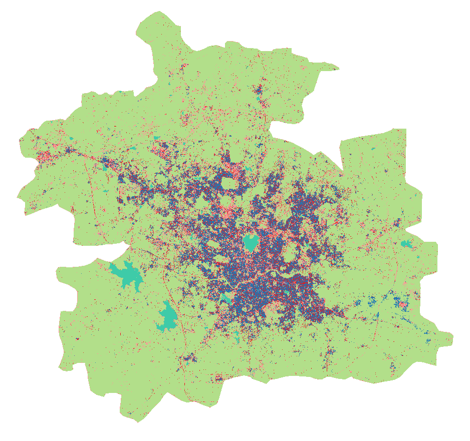
Land Use in Selected Indian Cities
The dataset comprises eleven series of land use/land cover (LULC) maps, each corresponding to one city in India—Ahmedabad, Belgaum, Hindupur, Hyderabad, Jalna, Kanpur, Parbhani, Pune, Singrauli, Sitapur, or Vijayawada—and containing one map per year for 2015–2018. Every map contains several...
-
Percent Treecover in Kenya
The Vegetation Continuous Fields (VCF) collection contains proportional estimates for vegetative cover types: woody vegetation, herbaceous vegetation, and bare ground. The product is derived from all seven bands of the MODerate-resolution Imaging Spectroradiometer (MODIS) sensor onboard NASA's...
-
City-scale climate hazards at 1.5°C, 2.0°C, and 3.0°C of global warming
Global climate models can provide valuable information to city decision makers for strategic planning, climate adaptation, risk management, and budgeting—but it can be difficult to glean from these models information that is directly suited to city scales and city problems. This dataset contains...
-
Marine Protected Areas in Coral Reef Regions of the World
This dataset is part of the base data used for Reefs at Risk Revisited. To assess the level of protection and management for coral reefs around the world. The map of MPAs and associated management effectiveness scores were used to adjust pressure from overfishing and destructive fishing in the...
-
Reefs at Risk Revisited (Social Vulnerability Data)
This shapefile features the Exclusive Economic Zones (EEZs) for 108 coral reef countries and territories classified according to an index of their reef dependence, adaptive capacity, and social vulnerability. Results are presented as quartiles, with 27 countries/territories classified in each of...
-
Reefs at Risk Revisited: Climate-Related Threats Data
Global (i.e., climate-related) threats to the world's coral reefs were analyzed. These include: past thermal stress (i.e., warming seas and bleaching over the last decade), future thermal stress (ie., projections of future warming in 2030 and 2050); and ocean acidification (i.e., reduced ocean...
-
Reefs at Risk Revisited (Local Threats Data)
Threats from coastal development, marine-based pollution and damage, overfishing and destructive fishing, and watershed-based pollution were analyzed separately. These threats were integrated into the Integrated Local Threat index. Past thermal stress was integrated with local threats into the...
-
Tropical Coral Reefs of the World (500-m resolution grid)
Global map of shallow, tropical coral reefs, gridded at 500-m resolution for use in the Reefs at Risk Revisited project. The coral reef location data were compiled from multiple sources by UNEP-WCMC, the WorldFish Center, and WRI. To standardize these data for the purposes of the Reefs at Risk...
