-
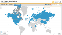
CAIT - Countries' Pre-2020 Climate Pledges submitted to the UNFCCC
The structured data from the CAIT Pre-2020 Pledges Map enables users to explore, compare, and assess climate change mitigation pledges submitted by Parties to the United Nations Framework Convention on Climate Change (UNFCCC) in 2009 and 2010. The information related to quantified economy-wide...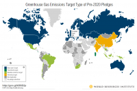
-
Reefs at Risk Revisited: Climate-Related Threats Data
Global (i.e., climate-related) threats to the world's coral reefs were analyzed. These include: past thermal stress (i.e., warming seas and bleaching over the last decade), future thermal stress (ie., projections of future warming in 2030 and 2050); and ocean acidification (i.e., reduced ocean...
-
Featured Dataset of Electric School Bus Adoption in the United States
Transitioning to electric school buses (ESBs) from traditional diesel-powered school buses can reduce students’ exposure to air pollution and decrease greenhouse gas emissions. School districts and private fleet operators around the United States are adopting electric school buses with increasing...
-
Average Annual Rainfall in Kenya
This data was used in Map 3.1 in Nature's Benefits in Kenya: An Atlas of Ecosystems and Human Well-Being.
-
Permanent and Non-Permanent Rivers in Kenya
This data was used in maps featured in Natures Benefits in Kenya: An Atlas of Ecosystems and Human Well-Being. Original data are available at http://mapping.usgs.gov/esic/cdrom/vmap.html.
-
Major Airfields in Kenya
This data was used in Map 6.4 and Map 6.5 featured in Natures Benefits in Kenya: An Atlas of Ecosystems and Human Well-Being.
-
Waterbodies in Uganda
This dataset results from the combination of three datasets: 1. NATIONAL FOREST AUTHORITY (NFA). 1996. Land Cover GIS Database. Kampala, Uganda: Government of Uganda, NFA. 2. NATIONAL IMAGERY AND MAPPING AGENCY (NIMA). 1997. Vector Map Level 0 (Digital Chart of the World), 3rd Edition....
-
Shipping Activity
This dataset was used as base data in Reefs at Risk. Shipping activity data used in the model of threat to coral reefs from marine-based pollution and damage in the Reefs at Risk Revisited project. This dataset was derived at WRI from the World Meteorological Organization Voluntary Observing...
-
Climate Watch Pathways (previously CAIT - Emissions Projections)
The CAIT Projections module was made available in 2015 and provided ready access to emission projections for major emitters through the year 2100 (if data is available). All data is now available on Climate Watch. In addition to providing emissions data, this tool aims to increase the...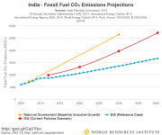
-
Climate Watch (CAIT) - Country Greenhouse Gas Emissions Data
The dataset applies a consistent methodology to create a six-gas, multi-sector, and internationally comparable data set for 197 countries. It enables data analysis by allowing users to quickly narrow down by year, gas, country/state, and sector. Automatic calculations for percent changes from...
-
Reefs at Risk Revisited (Local Threats Data)
Threats from coastal development, marine-based pollution and damage, overfishing and destructive fishing, and watershed-based pollution were analyzed separately. These threats were integrated into the Integrated Local Threat index. Past thermal stress was integrated with local threats into the...
-
Featured Intact Forest Landscapes (2013)
"The Intact Forest Landscapes (IFL) data set identifies unbroken expanses of natural ecosystems within the zone of forest extent that show no signs of significant human activity and are large enough that all native biodiversity, including viable populations of wide-ranging species, could be...
-
Dataset of U.S. School Bus Fleets
This dataset contains detailed information on the composition of school bus fleets in the United States. It dataset contains data from 46 states and the District of Columbia, though the specific data available vary by state. For most states, the dataset includes bus-level information, such as the...
-
Land Use in Selected Indian Cities
The dataset comprises eleven series of land use/land cover (LULC) maps, each corresponding to one city in India—Ahmedabad, Belgaum, Hindupur, Hyderabad, Jalna, Kanpur, Parbhani, Pune, Singrauli, Sitapur, or Vijayawada—and containing one map per year for 2015–2018. Every map contains several...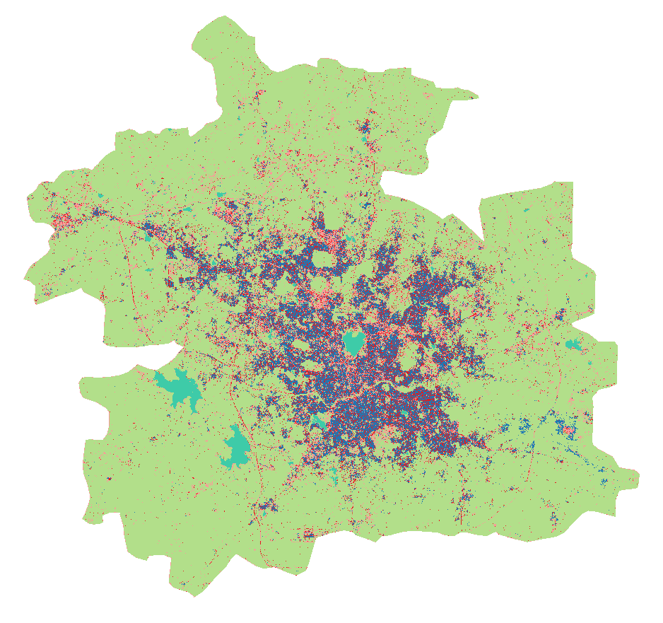
-
Uganda Environmental Health Census
Data used in maps 7, 8, 9, 10, 11, 12, 13 of "Mapping a Healthier Future: How Spatial Analysis Can Guide Pro-Poor Water and Sanitation Planning in Uganda." from Health Planning Department, Ministry of Health, Uganda; Directorate of Water Development, Ministry of Water and Environment, Uganda;...
-
Local Government Renewables Action Tracker
The Tracker contains information on two types of renewables activities commonly being pursued by local governments in the United States: 1. Electricity purchases and transactions, such as on-site solar, community solar projects, off-site power purchase agreements (PPAs), and green tariff...
-
Endemic Bird Areas (EBAs) in Kenya
This data was used in Map 5.3 in Nature's Benefits in Kenya: An Atlas of Ecosystems and Human Well-Being. Please note that this data is frequently updated. Please refer to Birdlife International's website for most updated versions and downloads: http://www.birdlife.org/datazone/index.html
-
Tourist Accommodations in Kenya
Approximately placed by ILRI/WRI based on MacMillan Education Ltd. 1993, UNEP/GRID-Nairobi 1998, and RoK 1998
-
Climate Watch (CAIT) - UNFCCC Annex I GHG Emissions Data
The CAIT Paris Contributions Map was made available in 2014 to enables users to explore, compare, and assess countries climate committments in each country's Intended Nationally Determined Contributions (INDC). Countries are not submitting and updating their national climate committments through...
-
Featured Climate Watch – Nationally Determined Contributions (NDC) Data (previously CA...
The CAIT Paris Contributions Map was made available in 2014 to enables users to explore, compare, and assess countries climate commitments in each country's Intended Nationally Determined Contributions (INDC). Countries are not submitting and updating their national climate commitments through...