-
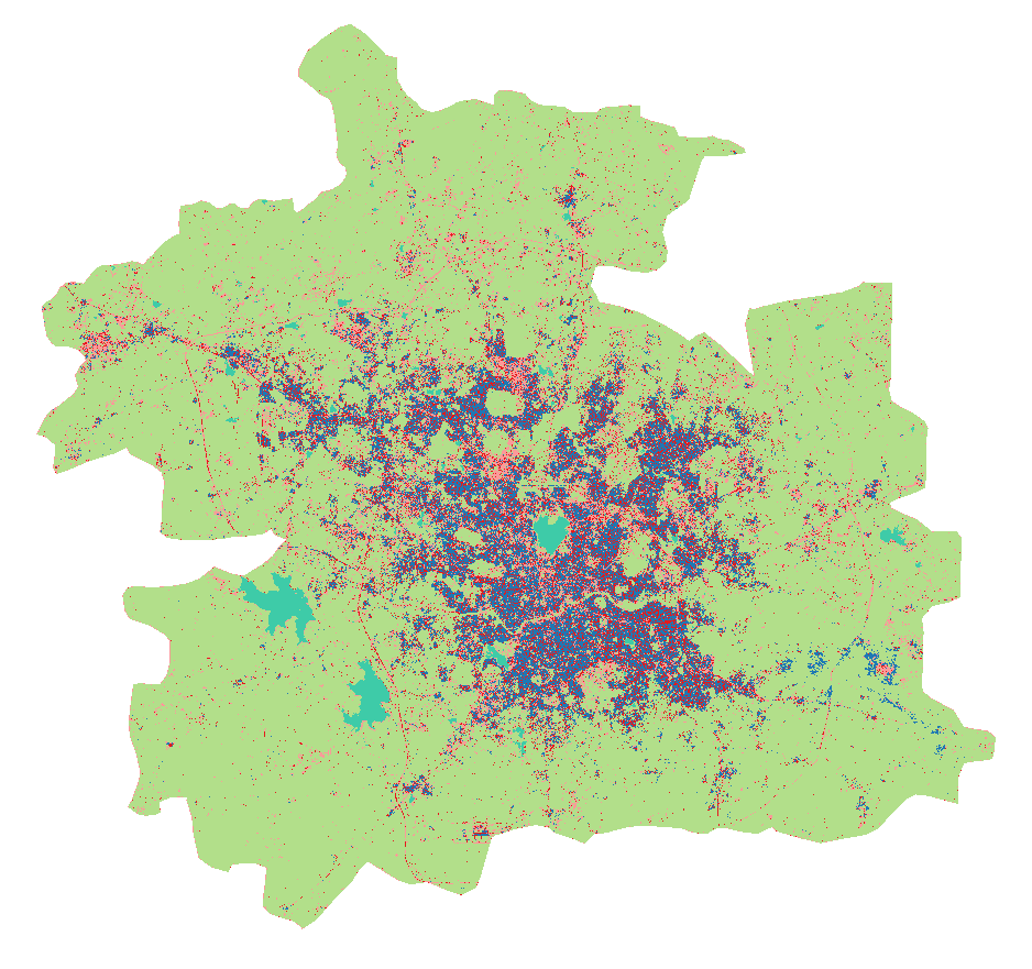
Land Use in Selected Indian Cities
The dataset comprises eleven series of land use/land cover (LULC) maps, each corresponding to one city in India—Ahmedabad, Belgaum, Hindupur, Hyderabad, Jalna, Kanpur, Parbhani, Pune, Singrauli, Sitapur, or Vijayawada—and containing one map per year for 2015–2018. Every map contains several...
-
Featured RSPO Palm Oil Mills
Certification of sustainable palm oil production is handled through the palm oil mill and its supply base. The certification includes plantations managed by the mill and plantations managed by other suppliers, including smallholders. To have its oil mill certified, a palm oil producer must show a...
-
Featured Archive fires for Indonesia
The Fire Information for Resource Management System (FIRMS) delivers global MODIS-derived hotspots and fire locations. The active fire locations represent the center of a 1-kilometer pixel that is flagged by the MOD14/MYD14 Fire and Thermal Anomalies Algorithm as containing one or more fires...
-
Sarawak oil palm concessions
This data set provides the boundaries of known oil palm concessions for the state of Sarawak, Malaysia, and was compiled from available public documents. Where available, associated information provided with this data set includes licensee name, permit number (Operational Ticket), corporate...
-
Featured Intact Forest Landscapes (2013)
"The Intact Forest Landscapes (IFL) data set identifies unbroken expanses of natural ecosystems within the zone of forest extent that show no signs of significant human activity and are large enough that all native biodiversity, including viable populations of wide-ranging species, could be...
