-
Featured Rights to Resources
The data included in this spreadsheet were downloaded from the World Resource Institute's Rights to Resources interactive map. The Rights to Resources interactive map presents the results of a legal review of national laws in sub-Saharan Africa in their treatment of local-use rights to natural...
-
Indicators of Sustainable Agriculture: A Scoping Analysis
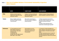
The spreadsheet “Evaluation of Candidate Indicators of Environmental Sustainability of Agriculture” presents the complete list of candidate indicators that were considered in the scoping analysis as well as the results of an assessment that determined the suitability of these candidate indicators...
-
Aqueduct Global Maps 2.0
Companies can use this information to prioritize actions, investors to leverage financial interest to improve water management, and governments to engage with the private sector to seek solutions for more equitable and sustainable water governance. Aqueduct Global Maps 2.0 includes indicators of...
-
Fast-Start Finance Contributions
This workbook contains data from a detailed review of the 2010-2012 fast-start finance (FSF) contributions of five countries reporting the largest FSF contributions (Germany, Japan, Norway, the UK, and the USA) and from a supplemental review of the remaining FSF contributions from 31 additional...
-
Eutrophication & Hypoxia Map Data Set
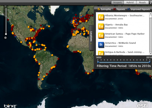
The Interactive Map of Eutrophication & Hypoxia represents 762 coastal areas impacted by eutrophication and/or hypoxia. There are 479 sites identified as experiencing hypoxia, 55 sites that once experienced hypoxia but are now improving, and 228 sites that experience other symptoms of...
